Kespry has revealed Kespry Drone 2.0 UAV

Related Articles
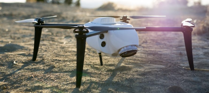
Kespry, which designs automated drone systems for commercial use, has announced the new Kespry Drone 2.0. The new lighter-weight drone flies 2X as long, covers 2X the ground area, and has 2X the wind resilience, due to the new airframe, battery, and flight system improvements.
Based on requests from commercial customers, the new Kespry Drone 2.0 now flies over 30 minutes per flight, covering up to 150 acres at a 400 foot altitude, and can operate effectively in up to 25 mph sustained winds and 35 mph wind gusts. The new Kespry Drone 2.0 weighs under 2 kilograms, which puts it in the “Micro UAV” category for streamlined regulatory compliance around the world.
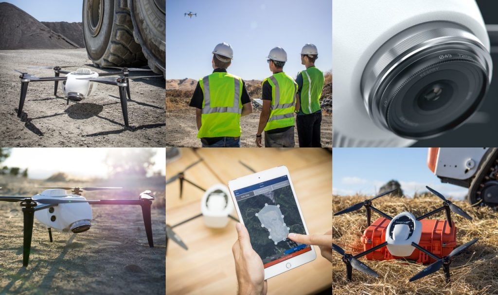
Kespry delivers a fully-automated drone system, which takes off, flies the designated flight path, and lands, all without operator intervention or even a joystick. To help customers operating in congested areas, including applications like roof inspections for insurance claims, the new Kespry Drone 2.0 is the first automated drone system that includes an on-board LiDAR sensor that automatically detects and avoids obstacles like trees, cranes, and buildings.
The new Kespry Drone 2.0 also has a lighter-weight and customized Sony industrial camera that captures more geospatial data for detailed 3D models that assist companies in areas like mine planning, operations, inspection and safety.
“We’ve seen increased demand from technology partners like Kespry in the drone and robotics markets,” commented John Monti, director of visual imaging solutions at Sony Electronics. “The new lightweight Sony UMC-R10C is designed specifically for industrial applications leveraging low weight while maintaining high-quality image capture.”
The Kespry Drone 2.0 continues to be the only fully automated and integrated commercial drone system that’s easy for companies to deploy at scale. The Kespry Drone, Kespry App, and Kespry Cloud reporting systems all work together seamlessly, so companies can quickly collect and analyze valuable aerial intelligence.


